
Guyana: Sky People
Fourteen days on foot into Guyana's Pakaraima Mountains, towards a summit nobody can promise.

- Duration
- 14 days
- Group size
- 7–8 travellers
- Operating window
- 17–30 April 2027
- The departure
- Sat, 17 Apr 2027
- Gateway
- Georgetown (GEO)
- Remoteness
- Extreme
- Self-reliance
- Self-reliant
- Comfort
- Spartan
- Environment
- Jungle
How to read these
These terms compare trips across Atlas51. Environment describes terrain, not difficulty.
Remoteness
Edge
Established support remains relatively close.
Deep
Help or an exit may take time.
Extreme
Help and an exit may be days away.
Self-reliance
Supported
The crew runs the core systems.
Shared
You take on part of the work.
Self-reliant
Your skills and decisions are central.
Comfort
Basic
A roof every night.
Wild
Camped, with camp made for you.
Spartan
You build your own shelter.
Environment
Desert
Sand, rock and arid ground.
Arctic
Snow, ice and sustained cold.
Jungle
Dense, humid forest.
Mountain
Steep, high or broken ground.
Inland water
Rivers, lakes and wetlands.
Ocean
Open-coast or offshore water.
Forest
Woodland and trail terrain.
Steppe
Open grassland with few trees.
Savanna
Warm grassland with scattered trees.
Reef
Shallow coastal water and coral ground.
Mixed
Several distinct terrains in one trip.
Photography note
This trip has not run before, so none of these photographs are from it. They come from scouting expeditions and from other trips in the region run by the same guide team.
A good fit if
You want the undertaking, not just the backdrop
- 01
Want real adventure over comfort.
- 02
Want to be part of a first attempt, not follow a polished tourist trail.
- 03
Can carry their own load and work as part of a small team.
- 04
Understand that the route, pace and outcome may change on the ground.
- 05
Get excited by uncertainty rather than put off by it.
The trip
The route, the work and the conditions
Expedition
A first, exploratory or uncharted route.
Because exploration still exists here, and this time there may not be a route at all.
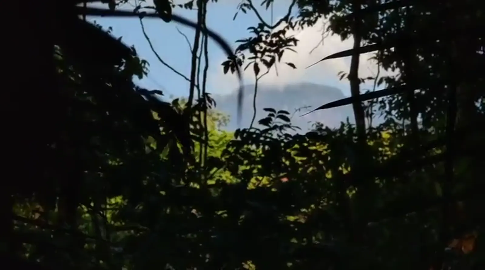
Deep in Guyana's interior stands Wokomung, a forested tepui in the Pakaraima Mountains. This expedition sets out to find a route towards its summit.
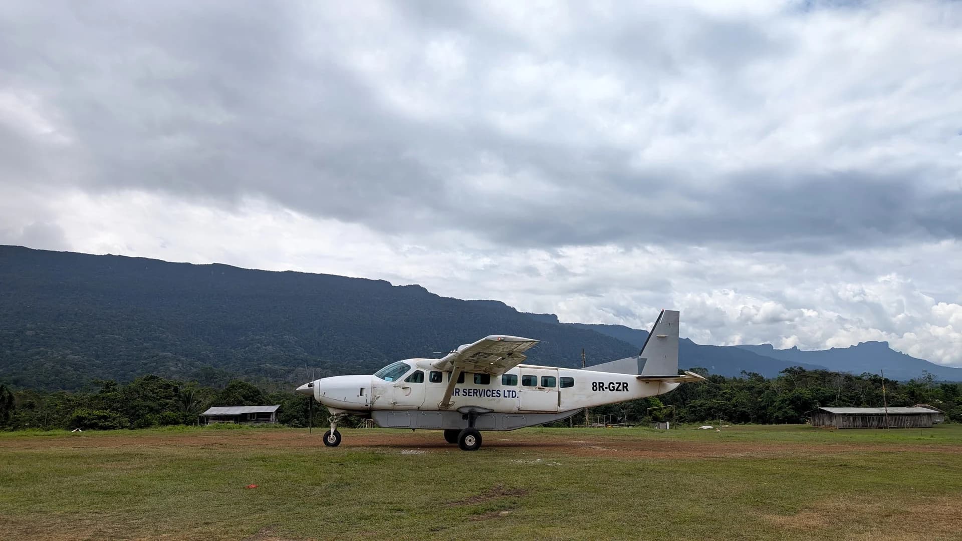
An advance team flies in a month ahead to cut the landing strip. You fly in by light aircraft, walk out of the Patamona village of Kopinang, and carry your own load from there.
Because almost nobody goes this deep into the interior. Because this is a genuine lost-world expedition. Because exploration still exists here, and this time there may not be a route at all.
This is a pioneering journey rather than a pre-packaged trip: fourteen days through the Guyana rainforest to reach the mountain, with the route to the top worked out on the ground.
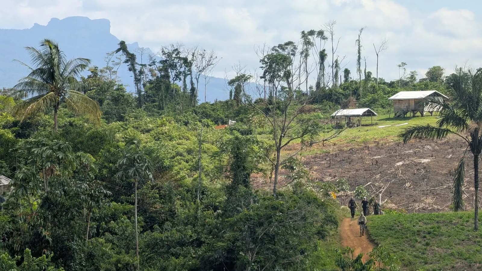
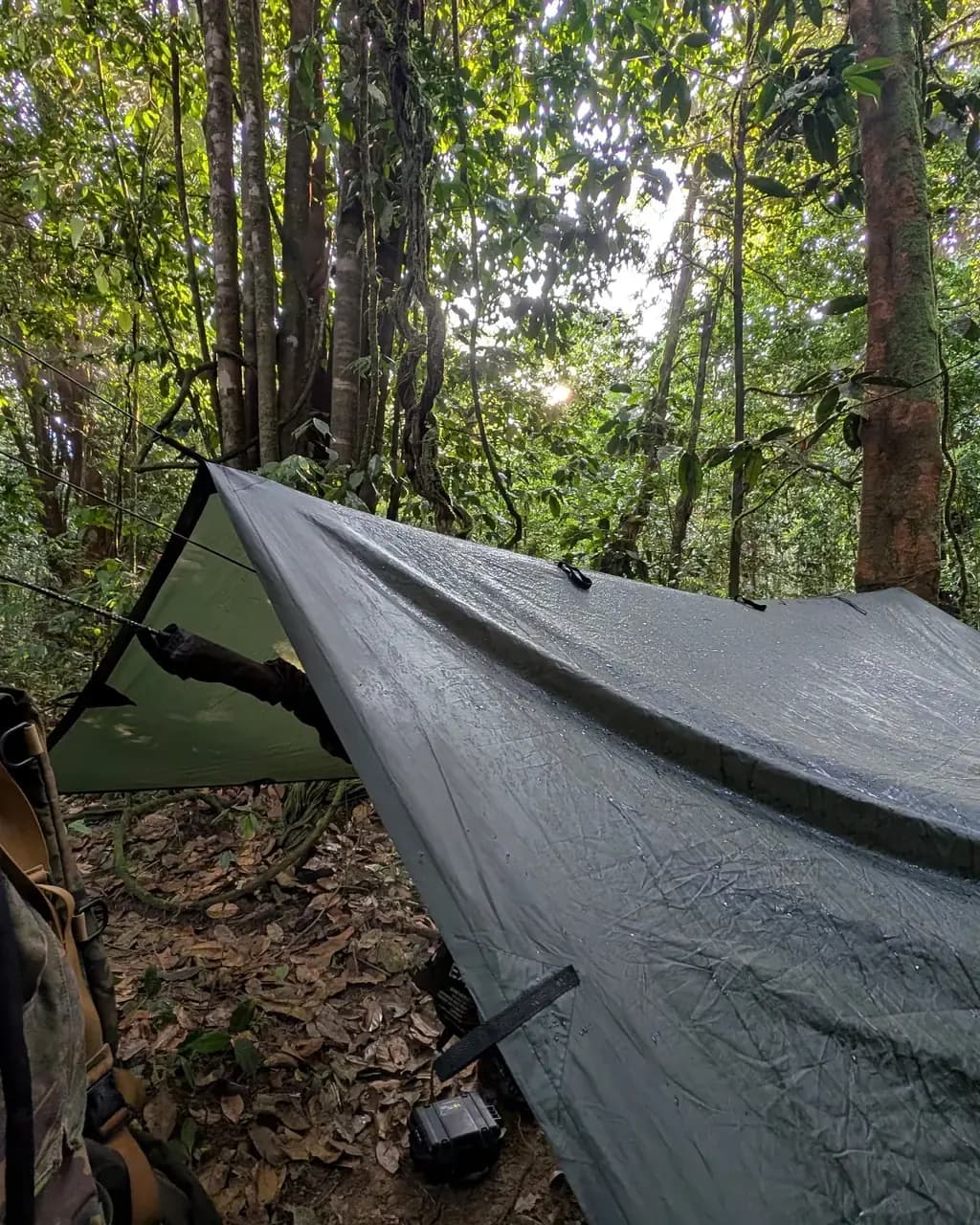
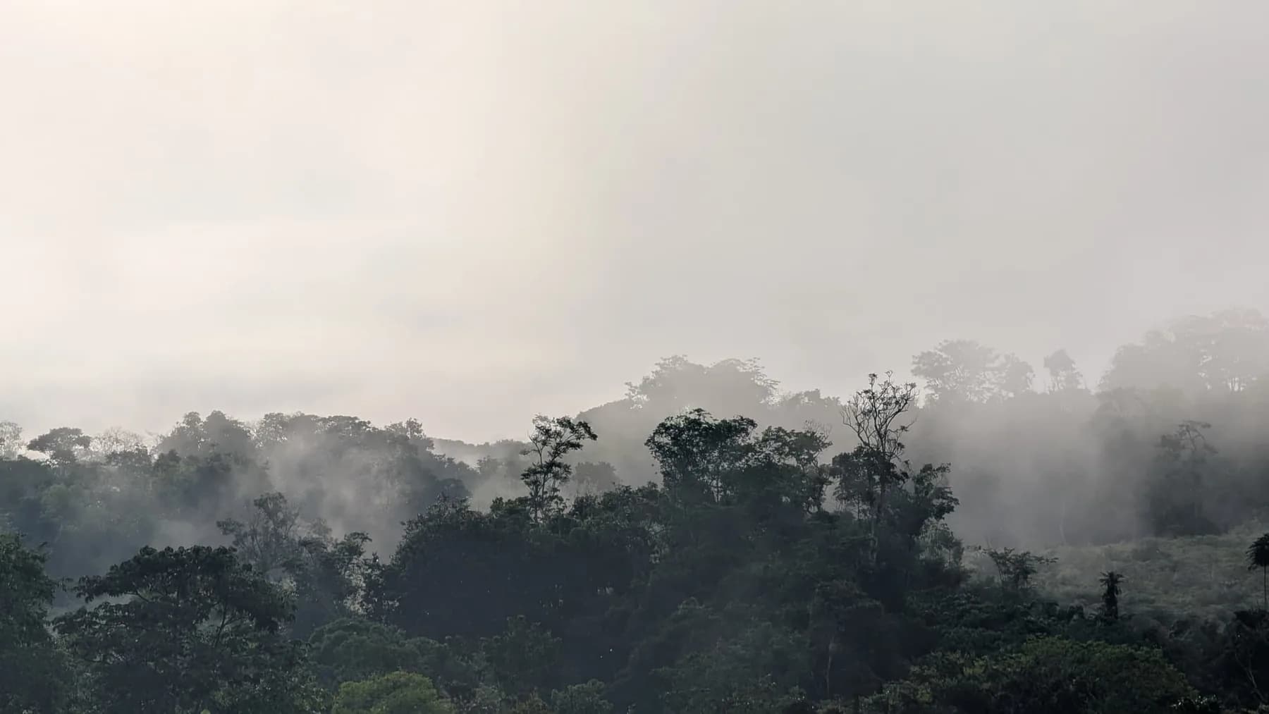
The expedition will take place alongside experienced Patamona expedition guides from the indigenous communities below Wokomung. The Patamona are known as the "Sky People", and this expedition will directly benefit the village of Kopinang, which sits beneath the mountain's walls.
This overland expedition requires a very good level of physical fitness. You should expect to carry your own rucksack, potentially weighing around 23kg when fully loaded with equipment, food and water. The terrain will be remote, humid, steep and physically demanding.
Because this is exploratory and uncharted, we cannot guarantee access to the summit.
A typical day
The shape of the days
An exploratory jungle rhythm where terrain, local knowledge and discovery matter more than the clock.
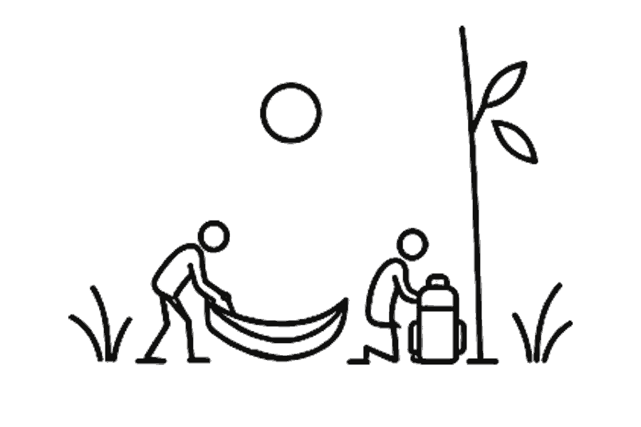
Pack the hammocks and move
Wake early as the rainforest comes alive. Eat, pack personal equipment, prepare water and help with camp tasks, then check feet and rucksacks before the Patamona guides brief the group on the terrain ahead.
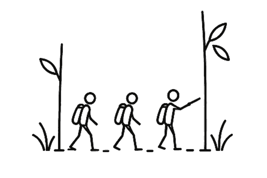
Search for a way through
Trek through dense, largely uncharted rainforest at a pace set by the terrain. Rest, eat and adjust equipment as the guides interpret the forest and search for a safe approach towards the Wokomung Plateau, caves or archaeological traces.

Build camp from scratch
By mid to late afternoon, find a suitable camp and work together to hang hammocks, organise cooking, collect water and complete the jobs that make jungle life work. Early days include practical guidance on safety, hygiene, fire, machete use and foot care.
Listen to the rainforest
Eat around the fire, hear from the Patamona guides and prepare for the next day. Sleep in hammocks beneath camp shelters with insects, birds and unseen wildlife filling the darkness around an expedition far from ordinary trails.
From the field
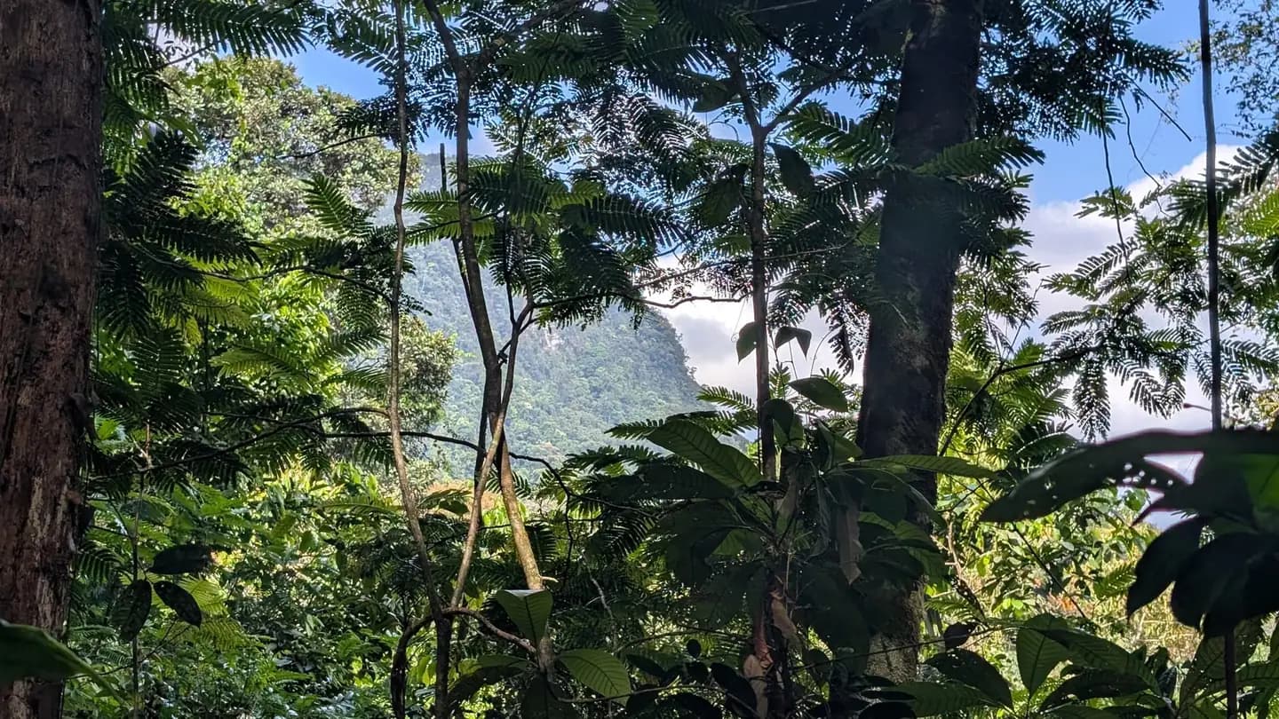
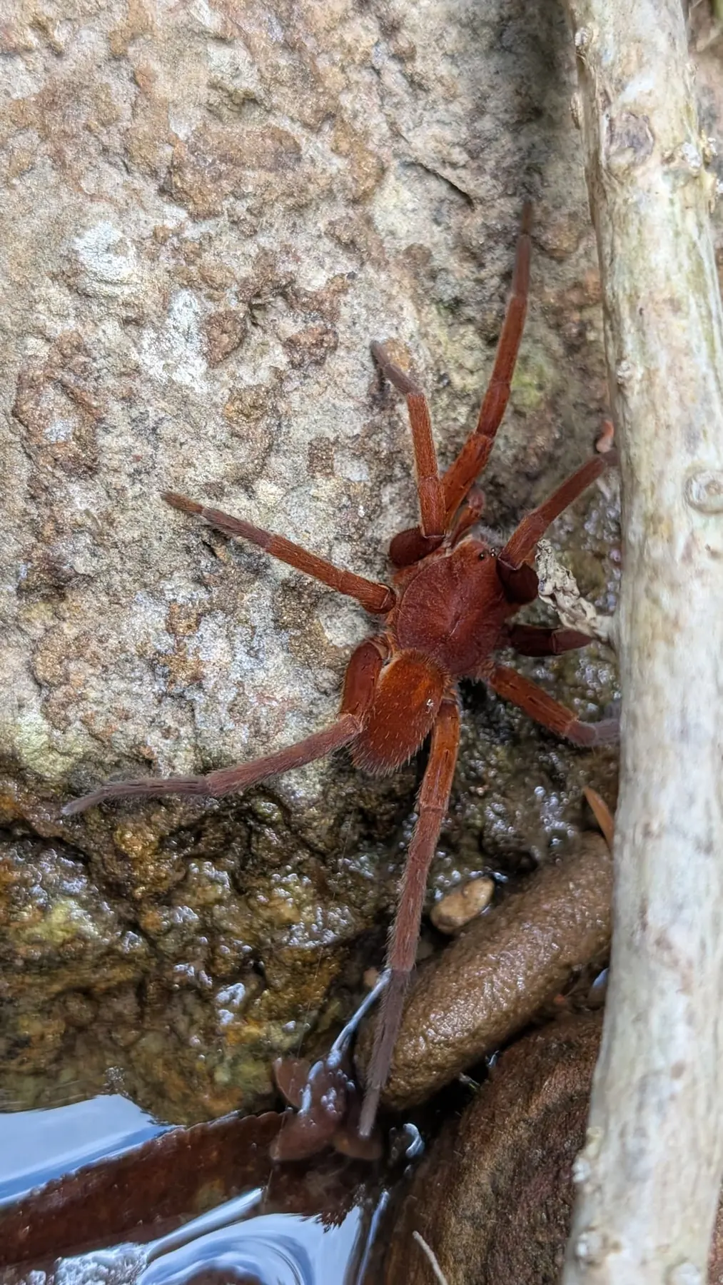 A rust-red spider holding a wet rock at the water's edge. Camp is a hammock and a tarp, so you learn to look before you set a hand down.
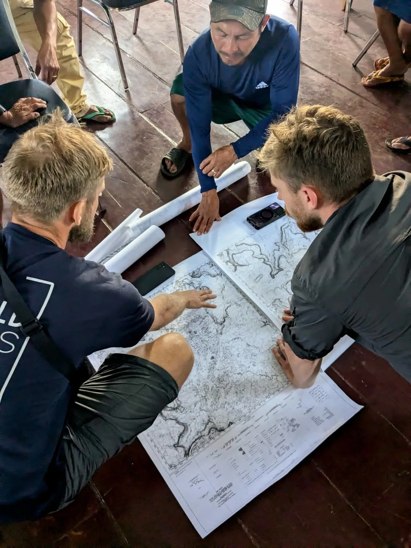
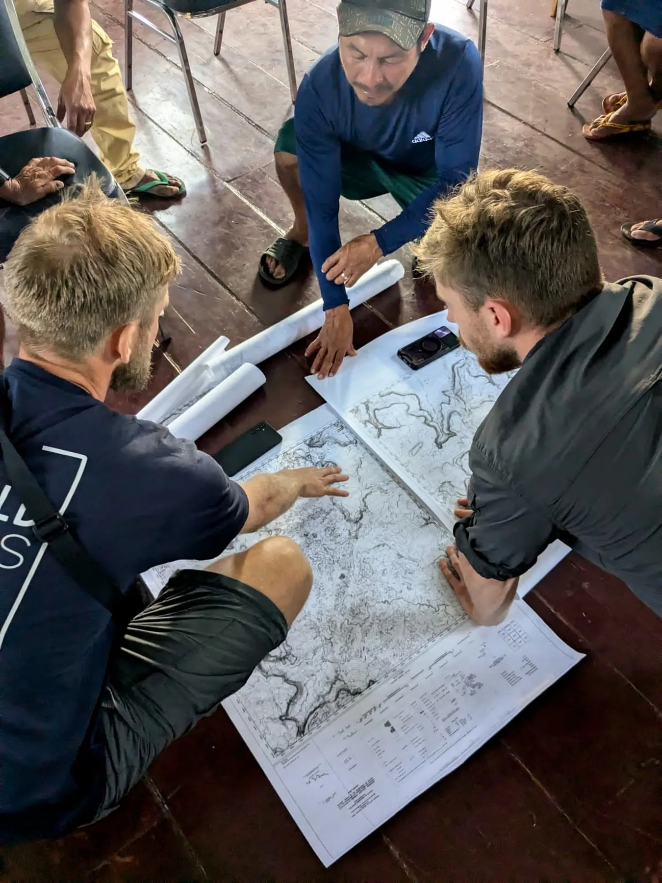 The route gets agreed on paper, on the floor, with the people who know the river.
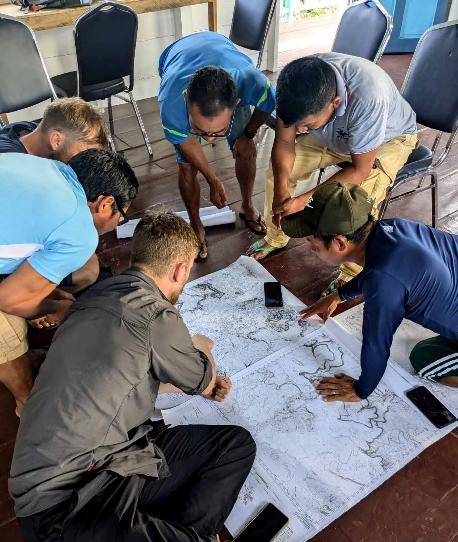 Seven people, two map sheets and a floor. The route is still being argued out, because nobody has walked this one yet.
 A propeller, a window and a long deck of cloud. The way into the interior is a small aircraft that lands beneath the mountain.
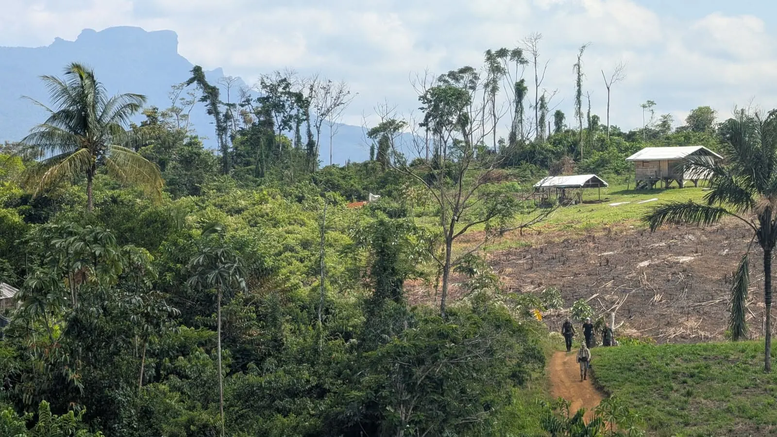 View all 18 photographsThe flat-topped wall behind is where the route is meant to go. From here on it is on foot.
Trip dossier
Route, arrival, kit and operating detail
Geography, arrival, flight handoff and equipment in one place. Final joining times are confirmed in writing for each departure.
01Route & terrain
14 days · Exploratory rainforest travel · 2 route points
Georgetown by light aircraft into the Pakaraima Mountains, landing near the Patamona village of Kopinang, then on foot towards Wokomung. There is no fixed route beyond that. The map shows the region the trip covers rather than a surveyed route: waypoints are indicative, and the day-by-day is not yet confirmed.
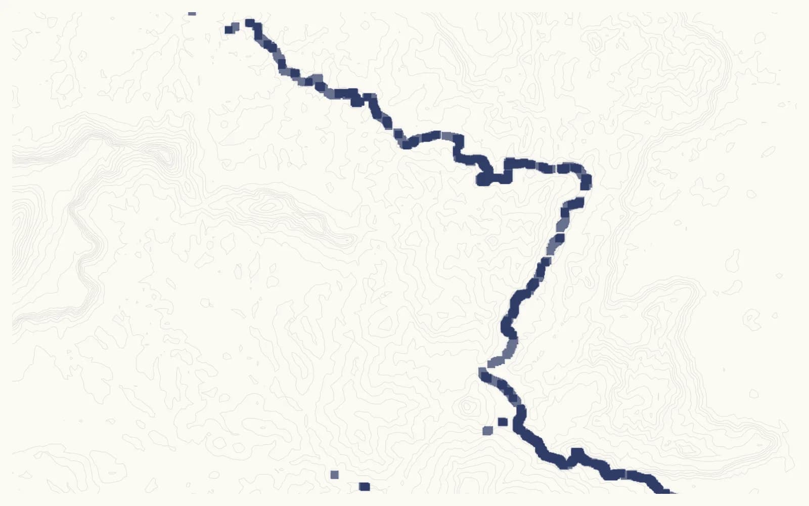
About this map
Rivers use HydroSHEDS/HydroRIVERS; the European Commission’s Joint Research Centre (JRC) provides observed water extent, Copernicus relief, and Natural Earth land and country boundaries. These layers provide geographic context, not navigation.
02Risk & conditions
Five dimensions · highest rating 5/5
The conditions that give this trip its character are the same ones that decide who should be on it. Each rating compares this trip with the others on the site; the line beside it says what that means here.
Physical
05 / 05
You carry your own pack, potentially around 23kg, through steep humid rainforest.
Technical
04 / 05
No fixed route. Hammock camps, machete travel, and a scramble onto a tepui plateau.
Environment
05 / 05
Remote interior rainforest. Days from help, river-level dependent, no evacuation road.
Activity
04 / 05
Unroped ascent of unsurveyed terrain, with the outcome explicitly not guaranteed.
Geopolitical
02 / 05
Guyana is stable. The sensitivity here is Indigenous land, not security.
When it goes wrong
On the ground, the trip lead makes the immediate safety call — changing the route, changing the day or stopping the activity. The communications, medical and evacuation arrangements confirmed for this departure will be set out in your written trip information. If a service is not named there, do not assume it is included. Emergency and legal limits →
03Where you sleep
A hotel in Georgetown, followed by simple expedition accommodation in the interior.
- Georgetown
- Hotel stay before moving into the jungle.
- In the interior
- Simple expedition accommodation, likely including remote village stays and field camps; the typical day describes hammock camps.
Sharing arrangements and any single option have not yet been confirmed for this trip. Tell us what you need before booking.
04Arrival & orientation
Georgetown (GEO) · Guyana
Georgetown
Cheddi Jagan International Airport
Georgetown is the staging point for travel into Guyana’s interior. The expedition does not begin at the international terminal: the onward domestic flight, vehicle or river transfer is confirmed in the joining instructions.
- Airport
- GEO
- Country
- Guyana
- Time zone
- America/Guyana
05Flights & joining dates
Georgetown (GEO) · Sat, 17 Apr 2027 – Fri, 30 Apr 2027
Start with flights into Georgetown (GEO).
The search below opens an external site with the recommended travel dates already filled in. Wait for the written arrival deadline before buying a fare you cannot change. Atlas51 does not sell flights or take payment for them.
Sat, 17 Apr 2027 – Fri, 30 Apr 2027
Recommended travel dates · A51-GUY-APR27
Into and out of Georgetown (GEO)
06Kit & equipment
Confirm the trip-specific kit with us before booking
Ask us to confirm the kit required for your departure, what is provided and any hire costs before you book or buy equipment. The trip inclusions state what is currently included in the price.
07Practical detail
Cancellation, insurance and what's included
- Details & pricing
- Enquire.
- International flights are excluded unless the written offer explicitly includes them.
- Entry & health
- Passport, visa and health requirements are yours to confirm.
- We tell you what we know before you apply. Disclose anything relevant to your safety or the trip's.
- Sleeping arrangements
- Confirmed in your written offer.
- Ask about a single/solo supplement when you apply.
- Insurance
- A condition of travel — cover for medical treatment, emergency evacuation and repatriation.
- We introduce a specialist broker if you'd like one.
- What's covered
- The trip as described on this page — the operator's services, in-trip logistics and issued equipment.
- Excludes flights, personal spending, visas and anything marked excluded in your written offer.
What's included
- Support — Supported throughout by the expedition lead and experienced Patamona guides who understand the terrain, communities and conditions. The ascent attempt will be indigenous-led, with direct benefit to the economy of the Patamona village of Kopinang.
- Accommodation — Hotel stay in Georgetown before moving into the jungle, then simple, practical and expedition-focused accommodation, likely including remote village stays and field camps.
- Gear — Jungle kit (hammock, tarp, machete, rucksack, hydration system); safety equipment (radios, satellite comms, ropes, first aid); planning, navigation, local liaison and on-the-ground decision making throughout.
What's not included
- International flights
- Travel insurance
- Transfers from Georgetown airport
- Alcoholic drinks
- Personal equipment
- Visa fees or entry requirements, if applicable
- Any costs created by personal changes to travel plans
08Common questions
3 questions answered specifically for this trip, rather than in general.
- Is reaching the summit guaranteed?
- No. This is an exploratory route through remote rainforest, and access to the summit cannot be guaranteed.
- How fit do I need to be?
- A very good level of fitness is required. Expect to carry your own pack, potentially around 23kg with equipment, food and water, through steep and humid rainforest.
- How remote is this — what's the medical access?
- The route is in remote interior rainforest, days from help, with no evacuation road. Departure-specific communications, medical and evacuation arrangements must be confirmed in your written trip information; do not assume an unnamed service is included.
Run by Anders
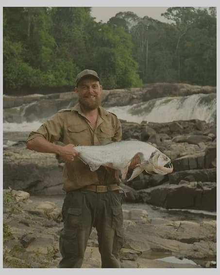
Run by people who know one place well
Anders leads remote fieldwork in Guyana, drawing on years of expedition and survival-course experience alongside Indigenous instructors and guides.
How Anders works →Our approach to responsible travel →01 · Apply
Nothing is booked or charged online.
02 · Tommy replies
Tommy will aim to reply within one business day.
03 · Written offer
The trip, price and next step—in writing.
One date
The departure
Sat, 17 Apr 2027 — Fri, 30 Apr 2027
Applications openOnly 4 places remainingApplications close18 Mar 2027
 Member no. 6573. Payments go into a PTS trust account.
Talk the dates or the fit through with Tommy first.
Book a 30-minute chat →Know someone who should see this trip?
Keep a copy of the trip
A brochure for Guyana: Sky People, to read, keep or share.
Keep exploring
Where next
 Journey
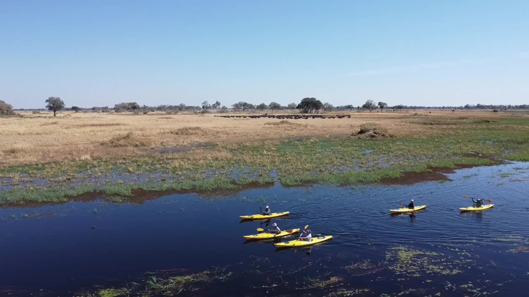
Okavango Delta, Botswana
Botswana: Kayak the Okavango
Ten days kayaking the Okavango north to south — no roads, no fences, no phone signal.
See the trip →10 days
Enquire
 Journey
Gilgit-Baltistan, Pakistan
Pakistan tuk-tuk frontier
Sixteen days driving a three-wheeler up the Karakoram Highway — supported, and not a race.
See the trip →16 days
Enquire
 By any means
Freetown to Kono, Sierra Leone
Sierra Leone: By any means
Nine days across Sierra Leone’s islands, rainforest and back roads by boat, motorbike taxi and poda-poda.
See the trip →9 days
Enquire